
Yosemite High Country Trail Map
Tom Harrison
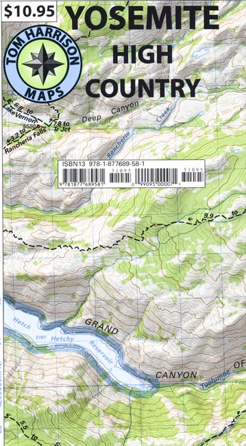
Detailed map covers the heart of this vast park, including Merced Lake, Wawona, Ten Lakes, Tuolumne Meadows, Tioga Pass, Vogelsang, Bridalveil Creek, Hall Research Natural Area, and more.
All of Tom Harrison’s wonderful maps of California hiking and recreation areas are shaded-relief topographic maps on waterproof and tear resistant plastic.GPS compatible with complete UTM grid.
Bored Feet is not currently accepting retail orders. We will still be filling wholesale orders for the foreseeable future. We apologize for any inconvenience.
